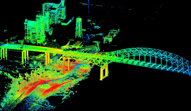
Openair Geomatics Understands the needs and significance of Lidar innovation. We understand the significance of quality of the collected and handled 3Dspatial data. We have worked effectively with both Helicopter Lidar Information and UAV’s collected Lidar information.
Looking at the present situation for Lidar industry, we have effectively overseen to get it the prerequisites and determinations from different parts of the world for Geospatial industry. Our group capable at understanding and utilizing modern innovations, particularly LIDAR or Laser point handling and visualization computer program. Each individuals holds wide involvement with different universal Lidar post handling projects and are skilled in Latest overhauled softwares/application/tools required for data handling.
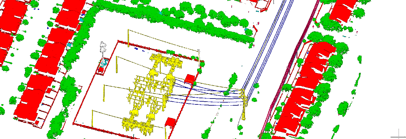
Following are the Lidar services we provide for your projects :
1) Assurance of height of forest canopy.
2) Urban Area Mapping of Building, roads, trees, man made objects/structures.
3) Vectorization 2D/3D.
4) Digitization.
5) 3Dcity modelling.
6) Corridor Mapping.
7) Feature Extraction.
8) Hydro-flattening.
9) Powerline mapping.
10) Data conversion.
11) Data classification.
12) Pipeline Mapping.
13) Orthophoto-rectification-processing