Openair Geomatics covers wide aspect of GIS services and strategies.
We provide the depth core technical and cost effective solutions for your GIS projects to be success.
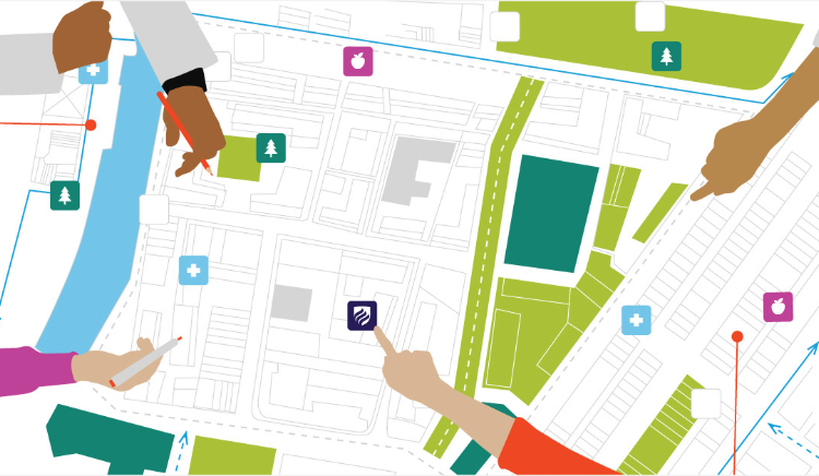
We have the tendency to work with web-based mapping services and our expert members has covered thousand hectares Km of data.
We provide the following services to our clients:
Let us connect and discuss your project requirements.