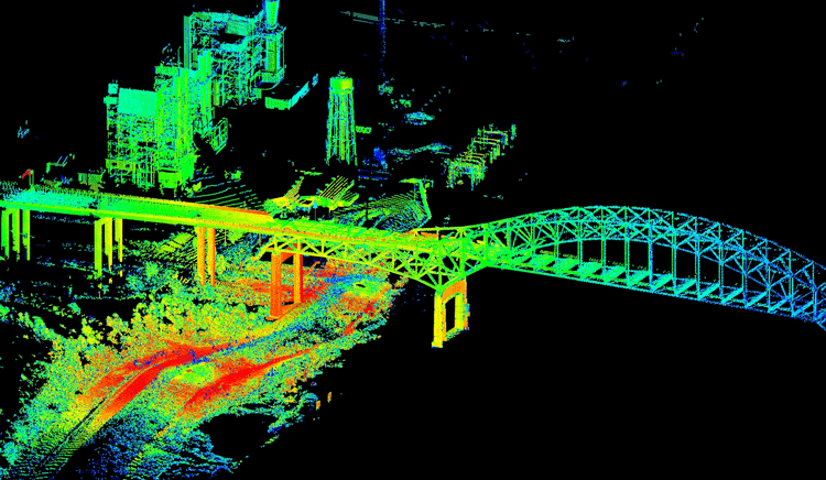

Light Detection and ranging. A farther detecting strategy is utilized to look at the surface of the earth. It includes a filtering and extending laser framework that produces pinpoint precise, high-resolution topographic…



With the innovation of the airborne Lidar innovation, powerline assessment has been enormously advanced around the world. The airborne Lidar innovation has been an extraordinary…
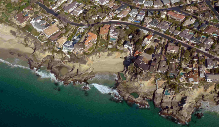

Photogrammtery is the center profile for geospatial Industry as well as for Openair Geomatics, with the devoted group individuals and the updated framework…

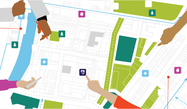

Openair Geomatics covers wide aspect of GIS services and strategies. We provide the depth core technical and cost effective solutions for your GIS projects…
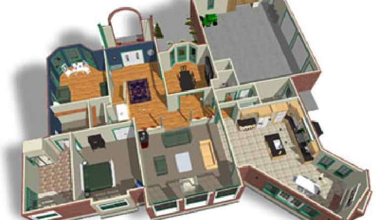

Openair Geomatics offers the foremost productive means to supply you with 3D modeling of your plans additionally offers different arrangements for revit plan and drafting services…

Connect with us to discuss your requirements.