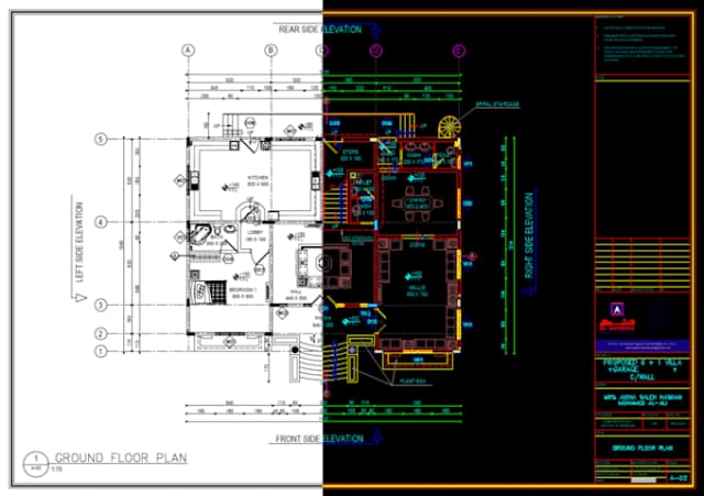
With over five years of experience, we specialize in GIS and data processing, delivering precision and excellence tailored to our clients' unique needs. Our commitment to excellence pushes us to explore new frontiers in geospatial technology. By leveraging advanced software and setting industry standards, we ensure our clients receive the best solutions. Join us in shaping a future driven by geospatial innovation.

Production Manager
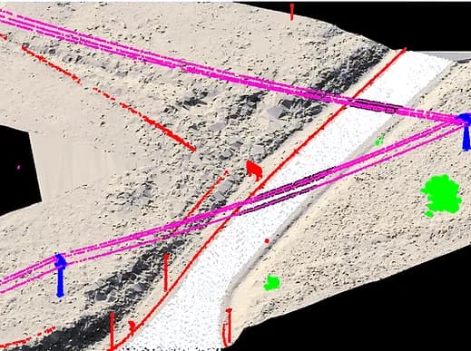
Over the past five years, Openair Geomatics has processed and classified LiDAR data for over 20,000 linear km of powerlines. Their precise classification of conductors, towers, and vegetation ensured seamless network maintenance and compliance with safety standards. Their consistency and accuracy have made them a trusted partner for large-scale projects.
Survey Manager
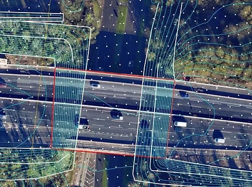
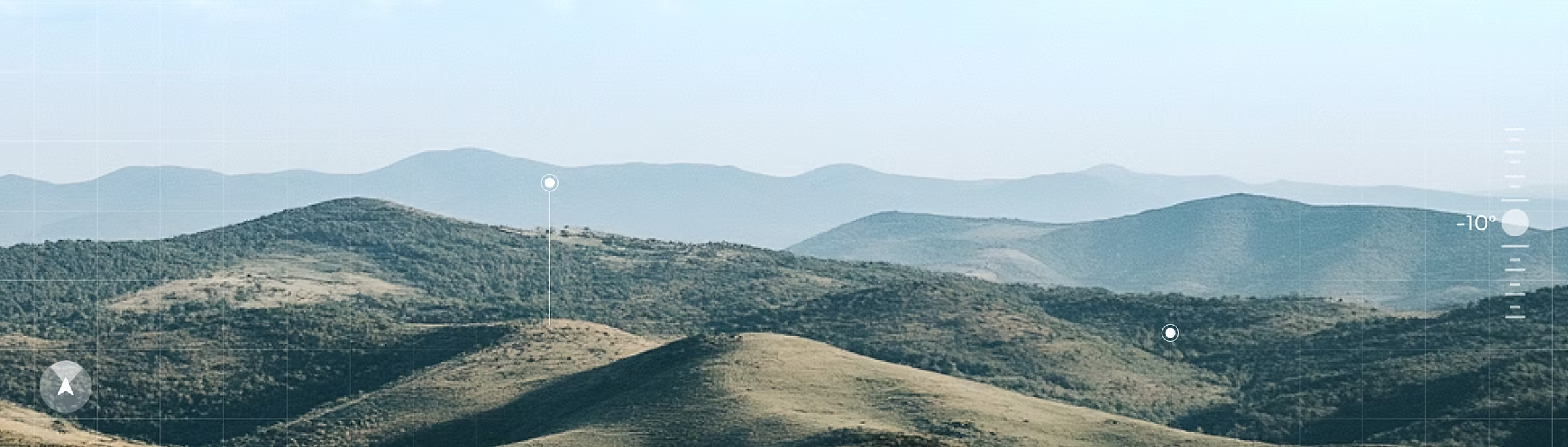
We relied on Openair Geomatics to map 600 km² of coastal terrain for flood risk analysis. Their LiDAR processing and GIS mapping were exceptional, providing actionable insights for our mitigation strategies.
Urban Planner
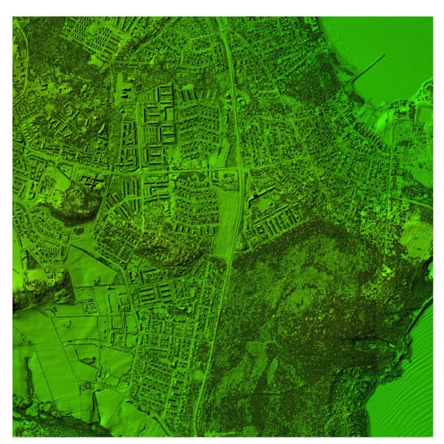
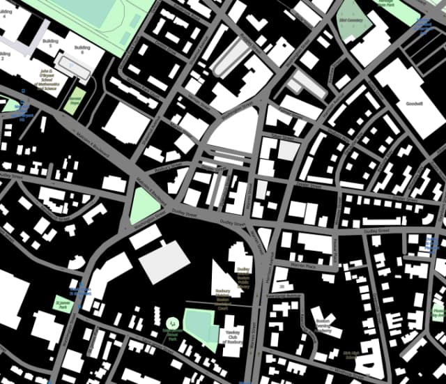
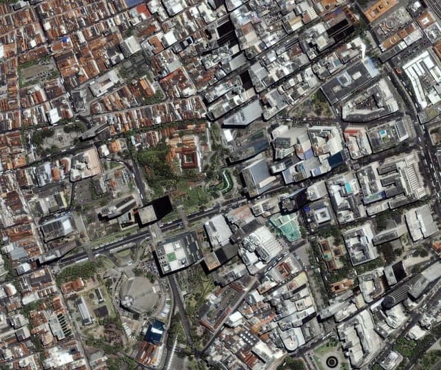
Openair processed mapping data for 350 km² of urban development. Their accurate object detection and detailed GIS layers greatly supported our zoning and infrastructure projects. Reliable and precise!
Project Coordinator
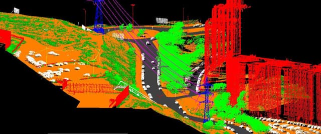
Mapped 800 km² of rail corridors using LiDAR and GIS, delivering precise terrain models and obstruction detection. Their expertise streamlined our maintenance planning, and the results exceeded expectations.
Production Manager
Over the past five years, Openair Geomatics has processed and classified LiDAR data for over 20,000 linear km of powerlines. Their precise classification of conductors, towers, and vegetation ensured seamless network maintenance and compliance with safety standards. Their consistency and accuracy have made them a trusted partner for large-scale projects.
Survey Manager
We relied on Openair Geomatics to map 600 km² of coastal terrain for flood risk analysis. Their LiDAR processing and GIS mapping were exceptional, providing actionable insights for our mitigation strategies.
Urban Planner
Openair processed mapping data for 350 km² of urban development. Their accurate object detection and detailed GIS layers greatly supported our zoning and infrastructure projects. Reliable and precise!
Project Coordinator
Mapped 800 km² of rail corridors using LiDAR and GIS, delivering precise terrain models and obstruction detection. Their expertise streamlined our maintenance planning, and the results exceeded expectations.
We are a private firm with worldwide reach, we look to be trusted and revered for our polished skill quality and services. Our group has the ability to deal with enormous and mass data and have easily directed the projects with no issues. We comprehend the need, quality and significance and we trust it ought not be undermined.